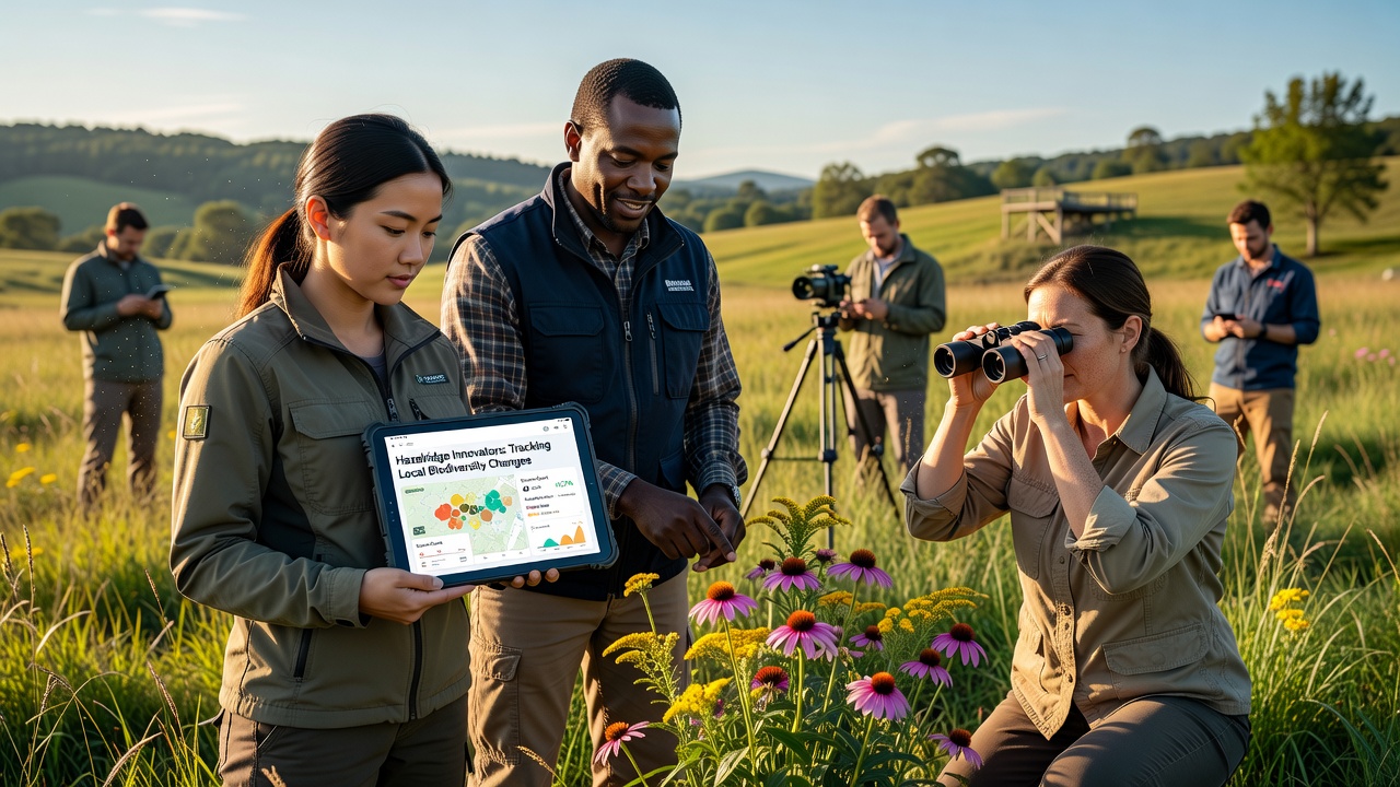
Mia Beck · 10 October 2026
Hazelridge Innovators Develop App to Track Local Biodiversity Changes
Developers in Hazelridge have created a mobile application that records shifts in plant and animal populations across the region, and the project draws on input from residents, researchers, and municipal records to build a shared dataset that updates in real time.
The application combines smartphone sensors with community observations, allowing users to log sightings of birds, insects, and native vegetation while the software cross-checks entries against satellite imagery and weather data collected since the early 2020s.
Development Background and Timeline
Work on the platform began in late 2024 when a small group of software engineers and ecologists met with representatives from the Hazel Ridge Preserve to address gaps in existing monitoring methods, and by spring 2025 the first prototype captured initial data on seasonal wildflower blooms along established trails.
Testing expanded through summer 2025 with volunteers submitting more than 4,200 entries, while the core team refined algorithms that flag unusual patterns such as earlier migrations or declines in certain pollinator species, and in October 2026 the application reached public release with features that integrate historical oral histories from long-time residents about water levels and forest cover changes.
Key Features and Data Collection Methods
Users photograph specimens or record audio of calls, after which the app applies computer vision models trained on regional species lists to suggest identifications that volunteers can confirm or correct, and the system timestamps each record with precise GPS coordinates that feed into an open dashboard available to scientists and planners.
Additional modules let participants track water quality indicators and soil moisture readings using low-cost attachments, while automated alerts notify registered users when data thresholds indicate potential stress on local habitats, and the entire process runs without requiring users to share personal details beyond optional profile information.
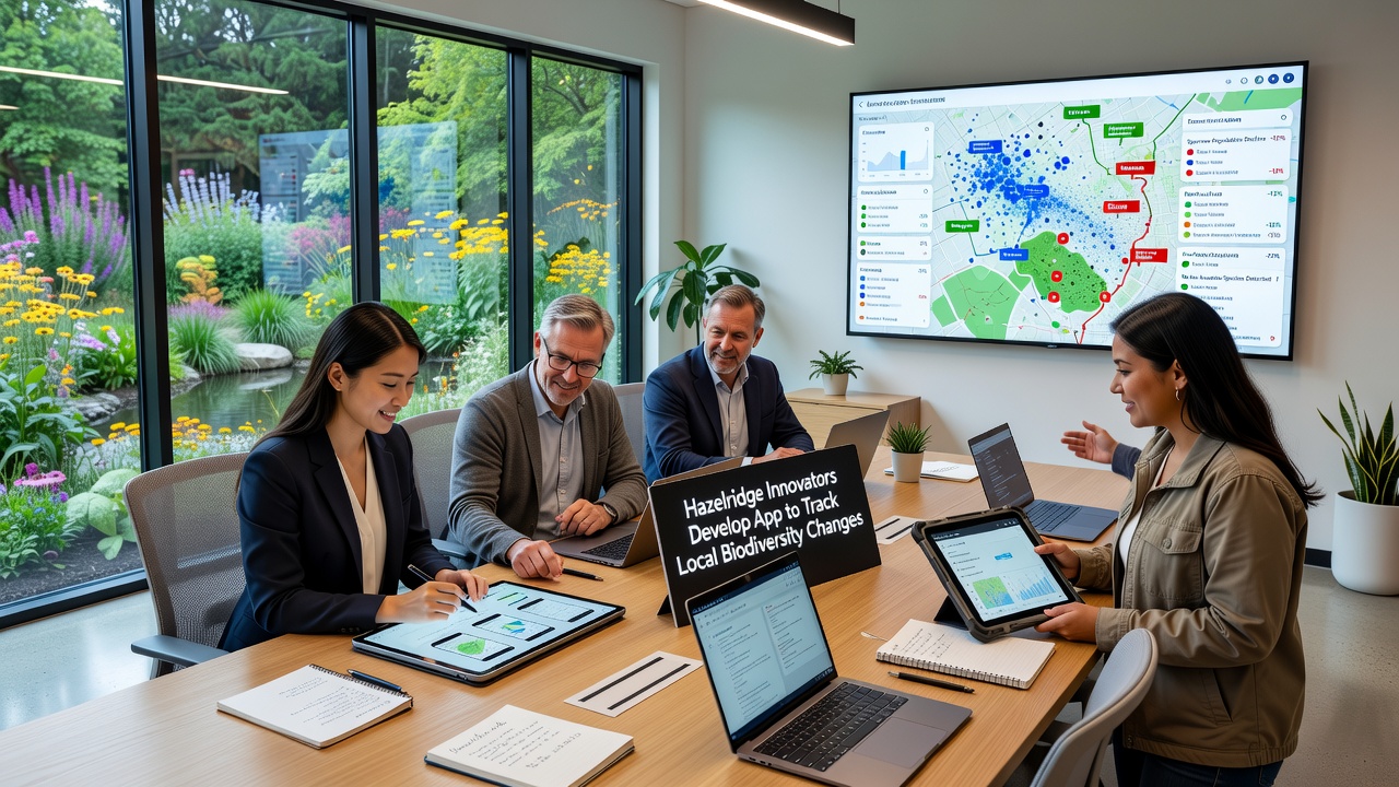
Integration with Regional Monitoring Efforts
Data gathered through the application connects with broader surveys conducted by government agencies, including reports from U.S. Environmental Protection Agency studies on habitat fragmentation, and observers note that early uploads already align with patterns documented in those national datasets.
Local schools have begun incorporating the tool into science curricula so students contribute verified records while learning field techniques, and one classroom in Hazelridge documented a 12 percent increase in recorded amphibian activity during the 2026 breeding season compared with figures from five years earlier.
Community Participation and Training
Workshops held at the Hazelridge community center teach residents how to use the app accurately, and sessions cover everything from proper photography angles to distinguishing between similar plant varieties that appear in the preserve, while organizers report steady attendance from both longtime residents and newer arrivals interested in local ecology.
Participants receive feedback when their submissions help confirm or update species distribution maps, and this loop encourages continued involvement without financial incentives, and the approach mirrors methods used in citizen science projects tracked by research institutions such as those affiliated with Australia's national science agency.
Observed Trends and Ongoing Analysis
Initial analysis of the collected records shows shifts in the timing of leaf emergence and bird arrivals that correspond with temperature variations recorded over the past decade, and researchers reviewing the aggregated information have begun comparing these local findings against larger continental models to identify whether Hazelridge patterns represent isolated cases or wider regional signals.
Preserve managers use the information to adjust trail maintenance schedules and restoration planting lists, and the same dataset supports grant applications for habitat protection measures that require evidence of measurable change over time.
Conclusion
The Hazelridge application demonstrates how localized technology can support systematic tracking of environmental conditions, and continued use through 2026 and beyond will determine whether the collected records produce actionable insights for conservation planning in the area.